Winter weather just around the corner in Nebraska
![Image](https://PANHANDLENCN.images.worldnow.com/images/22429090_G.png?auto=webp&disable=upscale&height=560&fit=bounds&lastEditedDate=1648592505000)
SIDNEY - 
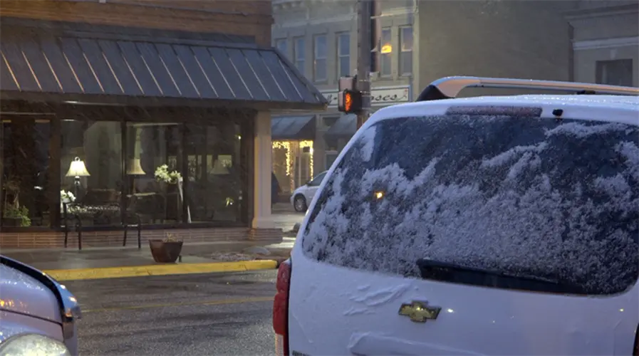
Winter is on the way across parts of western Nebraska Thursday night, with other areas affected by the weekend.
An upper level disturbance moving in from Wyoming will produce snow and sharply colder temperatures. Snow chances are highest across the western Sandhills and Pine Ridge.
The National Weather Service in North Platte says Alliance could receive two to three inches of snow by 7 a.m. Friday morning. Gordon and Mullen are forecast to get one to two inches. Less than an inch is expected across the rest of north-central Nebraska.
The NWS predicted Thursday morning up to three inches of snow in Kimball and Scottsbluff, and Torrington, Wyo. Sidney, Ogallala, and Oshkosh could see up to two inches.
A winter weather advisory is in effect from 6 p.m. MDT Thursday to 6 a.m. MDT Friday for Sheridan, Eastern Cherry, Keya Paha, Brown, Garden, Grant, Hooker, Thomas, Arthur, McPherson, Deuel, Keith, Perkins, and Western Cherry Counties.
Locally heavier amounts of snow are possible in a narrow band within the advisory area. Winds are forecast to gust as high as 35 mph.
For areas to the south and east, rain, sleet, and snow - along with isolated thunderstorms - are possible Thursday evening. Severe weather is not anticipated.
Travel impacts are possible overnight Thursday into Friday morning. According to the NWS, the concern is black ice across the Sandhills and the Panhandle where temperatures will fall to the teens and lower 20s by the morning.
In Omaha, NWS says the southeast part of the state could see one inch of snow or less by Saturday evening.
Experts say that snow is expected to melt quickly.
A high wind watch includes Kimball, Banner, Scotts Bluff, East Laramie, and Goshen Counties on Saturday. Winds could gust as high as 60 mph.
Road Conditions